Satellite imaging
Dr John Bruun contributed to this resource page – he was part of the pop-up STEAMM Team.
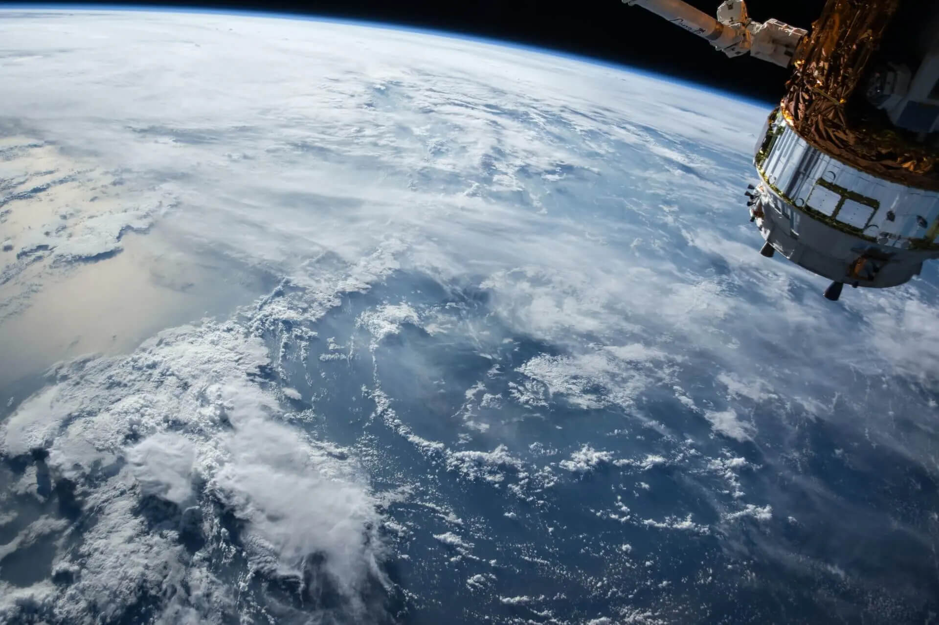
Image credit: NASA via Unsplash
Check out our new project all about satellite imaging and how it can be used to better understand and help our planet: Our World From Space!
To understand how the climate system works, it is essential to monitor and measure our climate reliably using instrumental techniques – satellite imaging in particular. The Science and Technology Facilities Council (STFC) is the UK government agency that helps provide this capability.
Satellite data is essential for comparing to computer simulation models, historical (paleo) data from e.g. ice cores and tree rings, and to test and improve our scientific understanding of the climate system.
Satellite data can help scientists understand:
- The CO2 pump: remote sensing of phytoplankton (green plant-life) in the ocean.
- Sea Surface Temperature variation: which shows the temperature variation, dynamics and some chaos – as shown in the NASA video below.